In a world where uninterrupted connectivity and near limitless network bandwidths are no longer science fiction, where devices communicate and collaborate seamlessly, location awareness has become a vital parameter that is not ignorable. Those of us who were keen on the journey of technological evolution might remember the statement from Eric Schmidt, then-CEO of Google, at the 2008 World Economic Forum Panel,
"The arrival of a truly mobile Web, offering a new generation of location-based advertising, is set to unleash a huge revolution.”
Schmidt remained confident that location-based advertising, despite concerns about its cost from analysts, would become "a very, very good business," envisioning a future where such technology could, for example, guide hungry travellers to nearby restaurants.
Fast forward a decade and half, Schmidt's prediction has been realized in a truly remarkable fashion. Location-based services are now deeply integrated into daily life, underpinning applications like food delivery platforms, which seamlessly connect users to nearby restaurants and delivery partners to users through location data.
The impact of location technology extends significantly beyond personalized experiences. In the realm of connected systems, knowing "where" some hardware is as critical as knowing "what" it is. This enables businesses to optimize logistics, track valuable assets, and develop smarter, safer urban environments. Location tracking has evolved from a novelty to a fundamental component of a more efficient and innovative future.
What is GNSS?
The Global Navigation Satellite System (GNSS) is a network of satellites that transmits location and timing information to GNSS receivers via radio frequency transmissions. This information is subsequently used by the recipients to establish their geographical position.
History of Navigational Systems
Satellite Navigation Systems revolutionized how we geolocate a particular hardware object anywhere in the world. Satnav systems were developed as successors to Radio navigation systems that were introduced in the early decades of the 20th century.
Traditional Radio navigation used terrestrial long range radio transmitters which sent our a master signal, which would then be responded to by other ‘slave’ stations. The delay between reception of the master and slave signals were utilized to obtain a radio fix on the target. In case of a moving object/entity, measuring the Doppler effect of the signals was the predominant method to determine velocity.
But as our technology evolved and requirements for tracking outgrew the limitations of this conventional method, we started developing non-terrestrial, i.e, Satellite based navigation systems. As expected, military applications were at the forefront of this transition and the US deployed its testbed navigation system called the NAVSAT in the first half of the 1960’s.

GPS
The now-infamous Global Positioning System (GPS) launched in 1978. GPS achieved global operability in 1994, making it the first global location service provider.
GLONASS
Russia followed suit in 1982 with its own GLONASS system (Global'naya Navigatsionnaya Sputnikovaya Sistema), solidifying the importance of satellite navigation on a global scale by achieving global operability in 1995.

Beidou
China joined the race in 2000 with the debut of its Beidou system, further demonstrating the global reach of this technology by 2018.

Galileo
Finally, in 2011, the European Union completed the quartet of major global navigation providers with the launch of its Galileo system with swift succession of deployments enabling global coverage by 2016.
These four systems form the very cornerstones of Global Navigation Satellite Systems. Their impact on the global economy has been profound, enabling both military and civilian sectors to pinpoint their assets with unprecedented safety, security and accuracy.
Learn more about the various GNSS Systems by downloading our Industrial Primer on the topic: An Introduction to Navigational Systems
The need for GNSS in Connected Systems
We have gotten so far ahead in our race for technological progress that both OEMs and Hobby developers alike can use these navigational systems to help them fulfill their requirements by designing new devices and applications that take advantage of these valuable services in mobile platforms. As such, it was inevitable that GNSS based systems and services would find its way into IoT enabled devices as they are capable of vastly enhancing their functionalities.
In this era of miniatuziation, OEMs benefit from a smaller form factor when developing their IoT enabled solutions as it lets them integrate their solution into a variety of platforms. It's simple to incorporate into a mobile device, and it can be customized with customer-specific applications.
Adding GNSS capabilities to an IoT device vastly increases its capabilities, while also unlocking use cases and/or IoT enabled applications that were previously unserviceable by that particular IoT device.
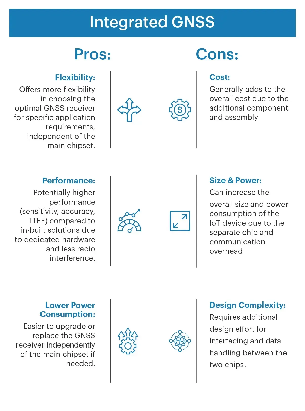
Integrated GNSS
A GNSS receiver is considered "integrated" when it is implemented as a separate chip or module alongside the main IoT chipset on the same PCB. This separate GNSS chip communicates with the main chipset, typically via interfaces like UART, SPI, or I2C.
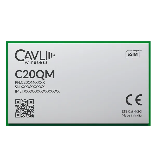
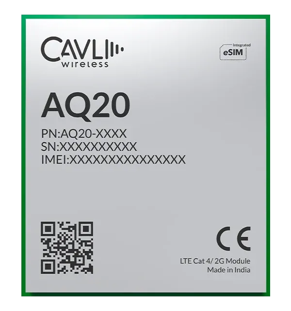
Cavli Cellular IoT Modules with Integrated GNSS
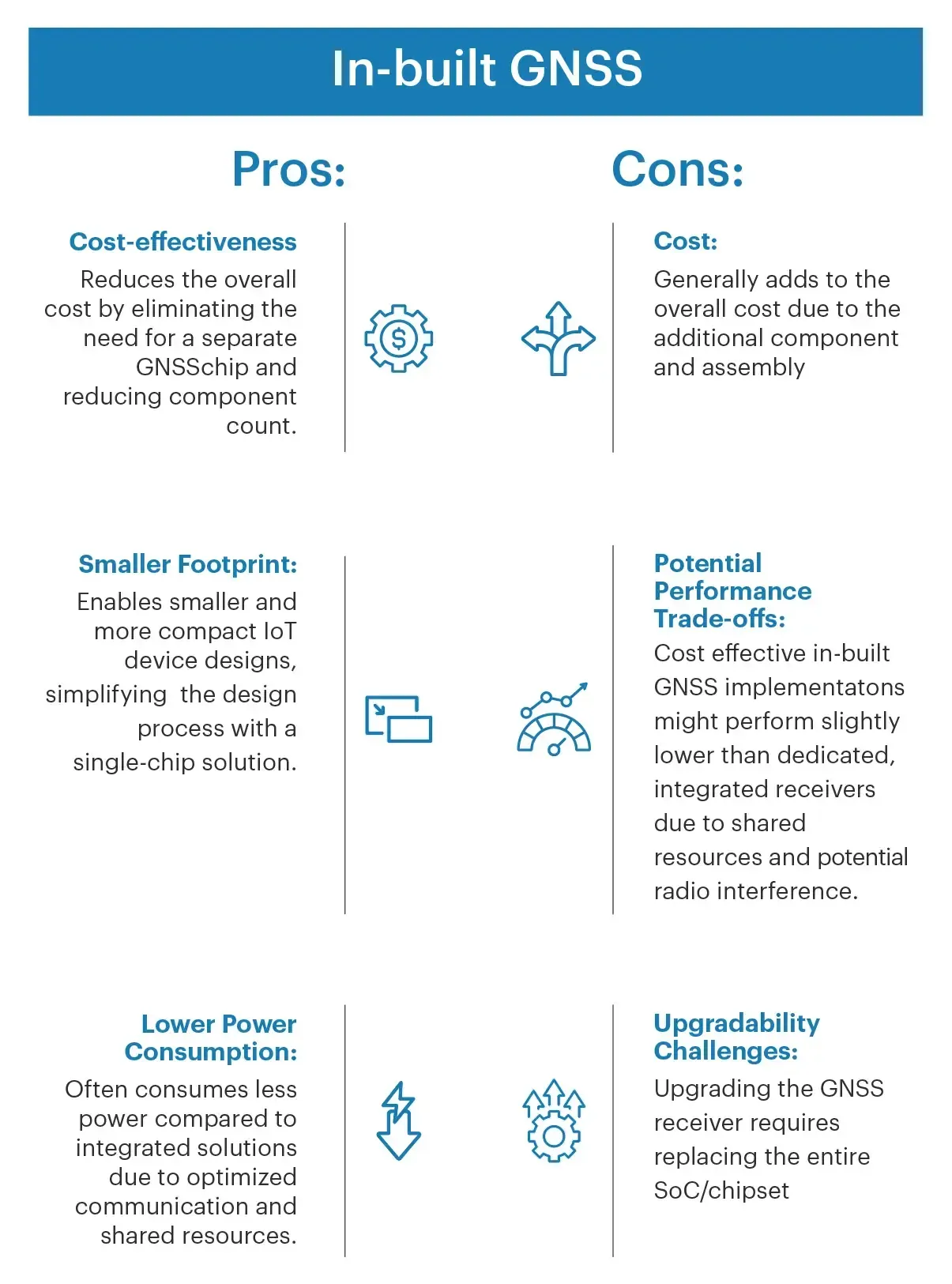
In-built GNSS
"In-built" or "on-chip" GNSS refers to a GNSS receiver directly integrated into the main IoT chipset silicon. All GNSS functionalities are embedded within the same chip.
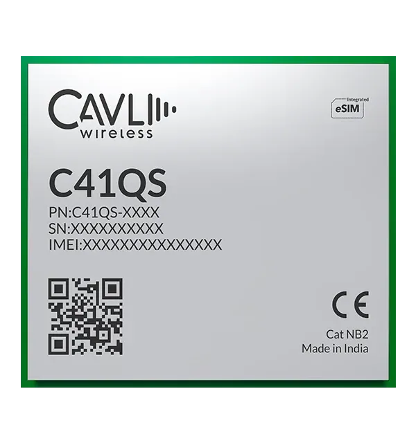
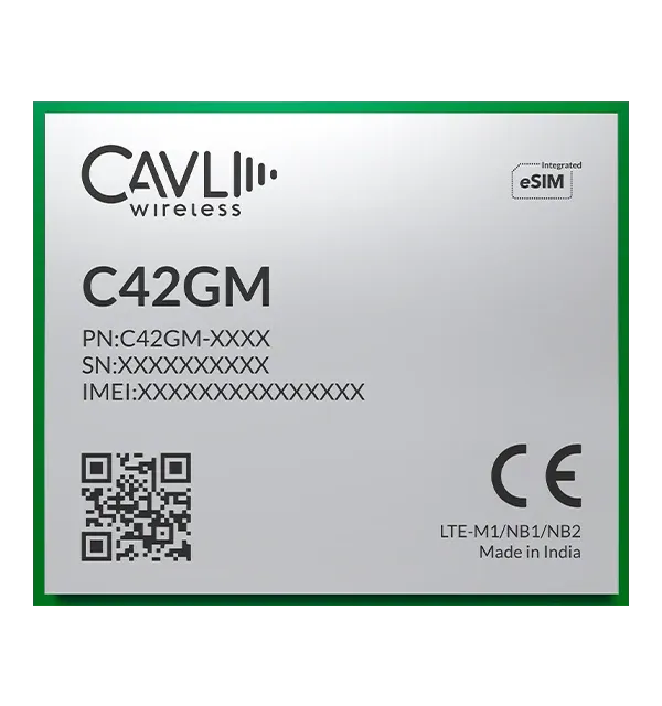
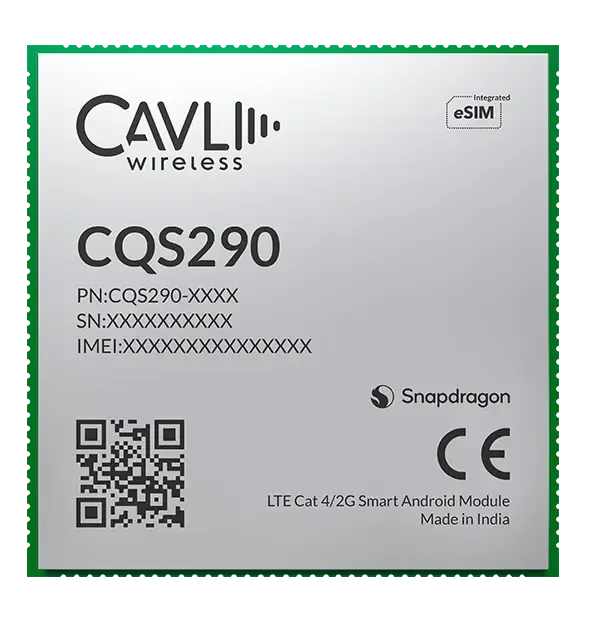
Cavli Cellular IoT Modules with In-built GNSS
While In-built GNSS has other diverse capabilities which we have expanded upon in our earlier blog, it also has its own unique limitations that prohibit it from becoming a solution to all hurdles in the realm of location tracking.
Coupling GNSS with LTE Cat 1
While LTE Cat 1 connectivity delivers reliable long-range communication, integrating GNSS capabilities takes your solutions to a whole new level.
Imagine this: no more guesswork in your supply chain. With real-time asset tracking, you can precisely monitor goods in transit, optimizing logistics and providing customers with unprecedented transparency. Fleet managers can finally say goodbye to inefficiencies, using live location data to optimize routes, minimize fuel consumption, and promote driver safety. But the benefits go beyond logistics. Imagine receiving instant alerts when valuable equipment strays outside designated zones, thanks to GNSS-powered geofencing. Picture recovering lost or stolen assets with ease, minimizing disruption and financial losses. This is the power of location awareness working hand-in-hand with your existing IoT infrastructure.
The true magic happens when you combine location data with other sensor readings. Suddenly, you can move from reactive maintenance to proactive intervention. By analyzing asset location alongside performance data, you can predict potential failures before they occur, optimize maintenance schedules, and maximize uptime. Choosing the right integrated GNSS solution is key. Carefully evaluate factors like accuracy needs, power consumption, and cost-effectiveness to find the perfect fit for your application. Partnering with experienced providers will ensure seamless integration and unlock the full potential of your investment.
What is AGNSS?
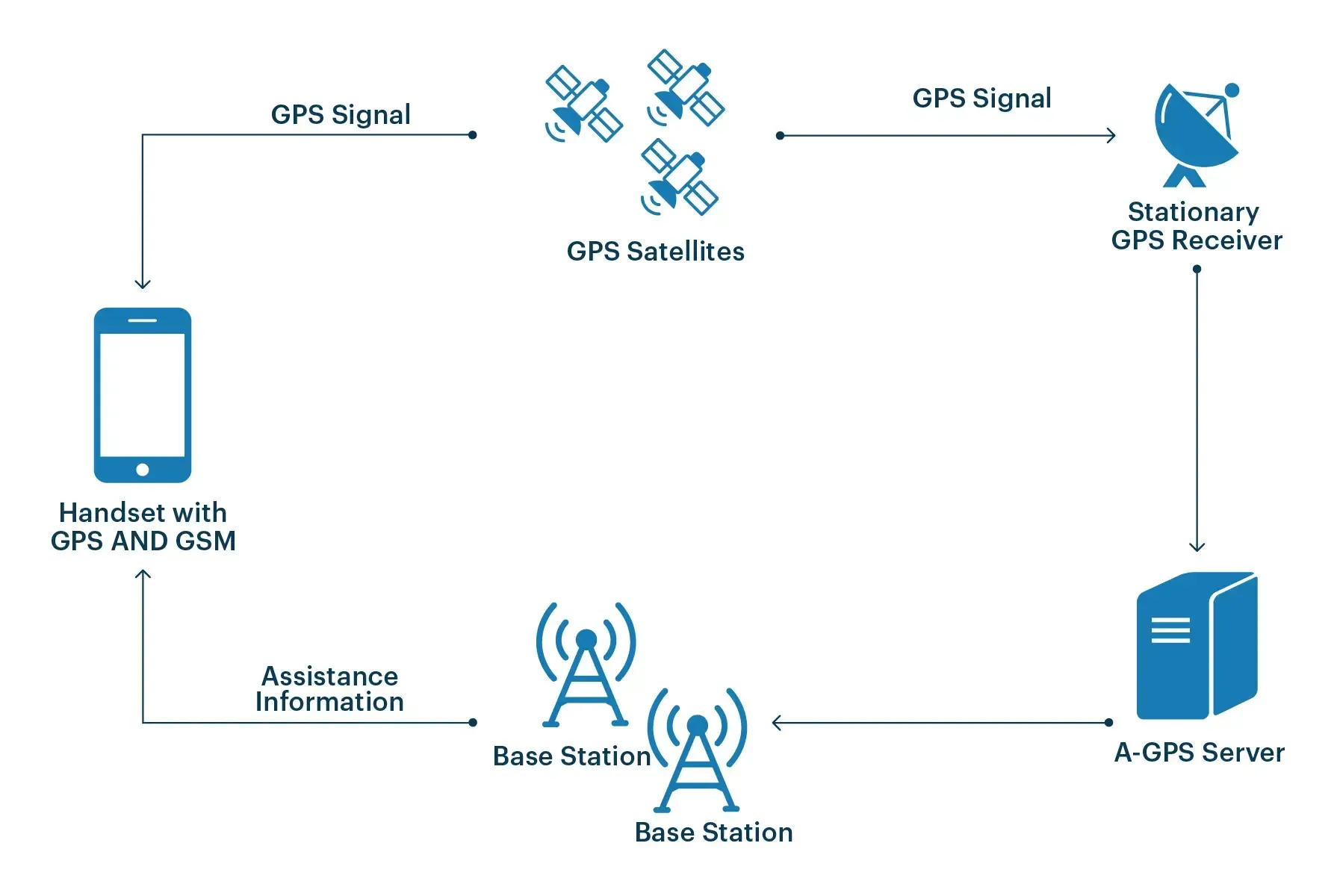
Assisted global positioning system - is a technology that allows AGNSS receivers to access data from network services to aid in satellite positioning. When the receiver is at a position where satellite signals are difficult to penetrate, an AGNSS system is extremely helpful.
AGNSS utilizes the system of satellites together with data from a mobile operator's cell towers to pin down the location it needs. GNSS uses the system of satellites to get your position, whereas AGNSS uses the system of satellites together with data from the cell towers of the mobile carrier to pin down your location. AGNSS becomes quicker and more precise as a result of this new aspect.
The time-to-signal collection is quicker when your device employs Assisted GNSS. The device saves time by obtaining location information of satellites from the closest cellular tower. As a result, you'll get better signal acquisition, conserve battery life, and get position data even when GNSS reception isn’t up to the mark.
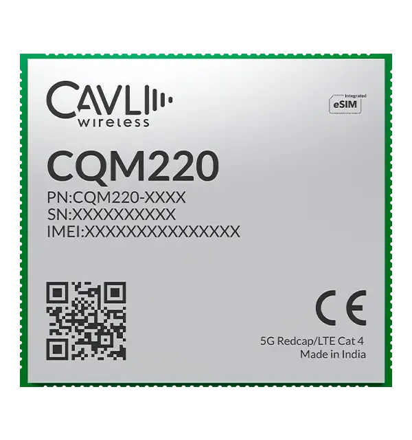
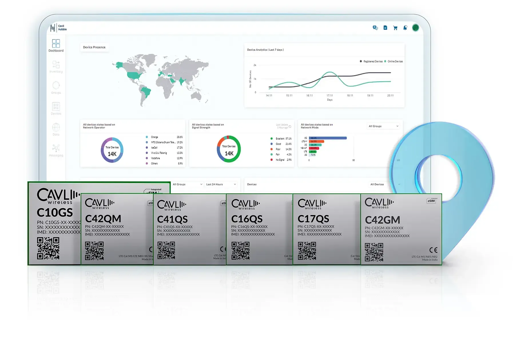
Cavli Modules with Integrated GNSS
Long-Range Precision with LPWAN Modules:
For applications demanding long-term deployments in remote or challenging environments, Cavli's LPWAN modules are the ideal solution. Leveraging the robust coverage of NB-IoT and LTE-M technologies, modules like the C41QS, C42GM, and C42QM ensure uninterrupted connectivity for mission-critical operations
For applications demanding long-term deployments in remote or challenging environments, Cavli's LPWAN modules are the ideal solution. Leveraging the robust coverage of NB-IoT and LTE-M technologies, modules like the C41QS, C42GM, and C42QM ensure uninterrupted connectivity for mission-critical operations
These modules shine in remote monitoring scenarios, where precise location data is paramount. Integrated GNSS functionality delivers superior accuracy and fast fix times, with the C41QS achieving an average fix within 31 seconds. Plus, their low power consumption and minimal RF interference make them perfect for extended deployments.
LTE Performance with a Location Advantage:
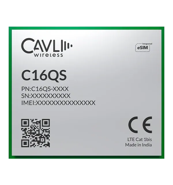
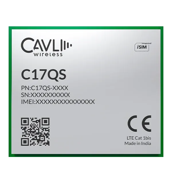
Cavli's LTE modules are designed to deliver high-performance connectivity without compromising on location accuracy. Our LTE Cat 1bis chipsets, including the C16QS and C17QS, feature integrated GNSS alongside power-saving PSM modes, ensuring efficient operation for battery-powered devices. These modules are capable of triaging the charge levels to last longer in field deployments while offering relatively fast connectivity while compared to LPWAN based modules.
For applications requiring a balance of performance and flexibility, the Cavli C10GS stands out. This Cat 1 module boasts superior GNSS capabilities, providing accurate location data for a wide range of use cases. Additionally, its software-upgradable design allows for seamless transition to Cat 4 speeds when required, future-proofing your IoT deployments.
Closing Notes
The incorporation of location based services into our everyday life has transformed how we humans tackle a variety of challenges and the same can implied for the landscape of IoT. Whether your deployments are meant to track valuable assets or smart metering solutions or even vehicle telematics, enabling GNSS based tracking offers OEMs and Users alike with the capability of locating their hardware to pinpoint levels of precision. Whether you need an integrated GNSS configuration for independent operability or if In-built GNSS enables you to incorporate connectivity into small form factor designs, Cavli's portfolio has options for your versatile IoT powered applications.
Feel free to write to us at solutions@cavliwireless.com or visit the product page directly with the link below.
Author

Soorya Kumar A
Sr. Associate- Product Marketing
Cavli Wireless